BLACK WEEK Drones and accessories up to -30%! Check
Save to shopping list
Create a new shopping list
Safe shopping
Idosell security badge
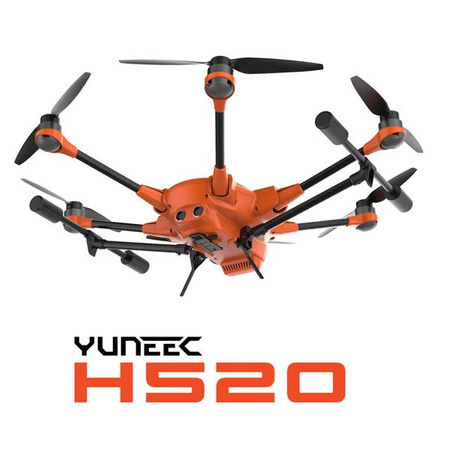
Yuneec H520 drone
Yuneec H520 drone
Yuneec H520 drone
Yuneec H520 drone
Yuneec H520 drone
Yuneec H520 drone

Yuneec H520 drone

  • Hexacopter for professional use
Regular price 1 571,28 € net 1 932,68 € incl. VAT / szt.
1 164,77 €
net / szt.
1 432,66 €
incl. VAT / szt.
Lowest price in 30 days before discount: 1 571,28 € net 1 932,68 € incl. VAT / szt.
You can also buy using:
14 days for easy returns
This product is not available in a stationary store
Safe shopping
Product sold out
You will receive an email notification from us when the product is available again.
Data is processed in accordance with the privacy policy. By submitting data, you accept privacy policy provisions.
Contact details entered above are not used to send newsletters or other advertisements. When you sign up to be notified, you hereby agree to receive only a one-time notification of a product re-availability.

Save by buying more

Yuneec H520 with E90 camera

Yuneec H520 with E90 camera

2 354,31 € net/1szt.2 895,81 € incl. VAT/1szt.
See the set
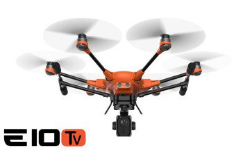
Yuneec H520 with E10Tv 640 x 512 32° FOV, 14 mm

Yuneec H520 with E10Tv 640 x 512 32° FOV, 14 mm

11 617,78 € net/1szt.14 289,86 € incl. VAT/1szt.
See the set
Brand
Symbol
YUNH520EU
Producer code
6970298654275
Warranty


Commercial aerial solution

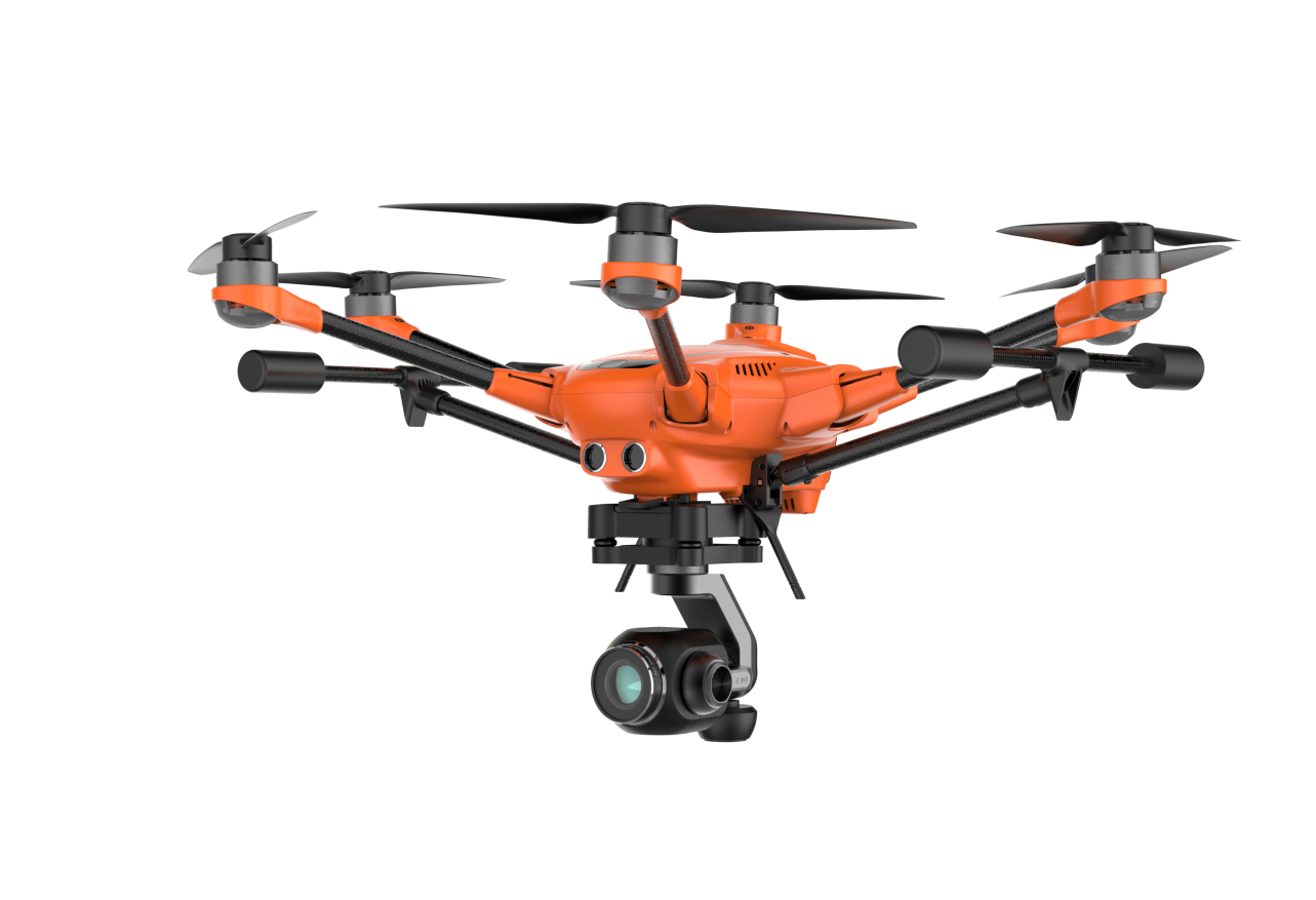
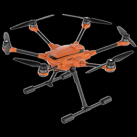
The H520 is a hexacopter that has been developed for commercial use. The sUAS is the perfect solution for long flight times and a proven and robust technology in an all-in-one package. The H520 is built for inspection, law enforcement, security, construction, surveying, and mapping applications in addition to offering cinematic imaging payload systems.


Built for industrial use and ambitious professionals

The H520 is designed with the inspection industry in mind with six-rotor systems that allow for stable, precise flight, long focal-length lenses that allow the sUAS to fly at greater distance from an object and data storage that may be shared instantly from the ST16S Ground Station or delivered directly in 4K/2K/HD video or 20Mp still images.


Reliable, stable and precise

Even in high-wind environments, the Yuneec H520 sUAS system is able to hold position, allowing the solution to fly even when a manned inspection would be deemed unsafe. Exclusive flight speed control offers slowest speed above stall flight for maximum precision in challenging environments.


Hot-swap payload options

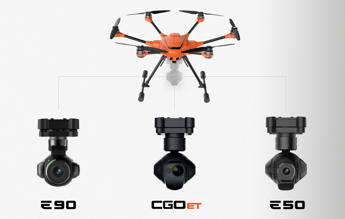
All of our E-Series cameras and the CGOET are hot swap-capable on our sUAS platforms, allowing for significant time-savings through not requiring a power-down/restart of the UAS system. This also allows for consistency of data-storage, rather than using multiple storage devices and locations.  Whether it’s thermal imaging, long focal length, or wide focal-length data capture, memory cards may be swapped from device to device.


ST16S all-in-one controller

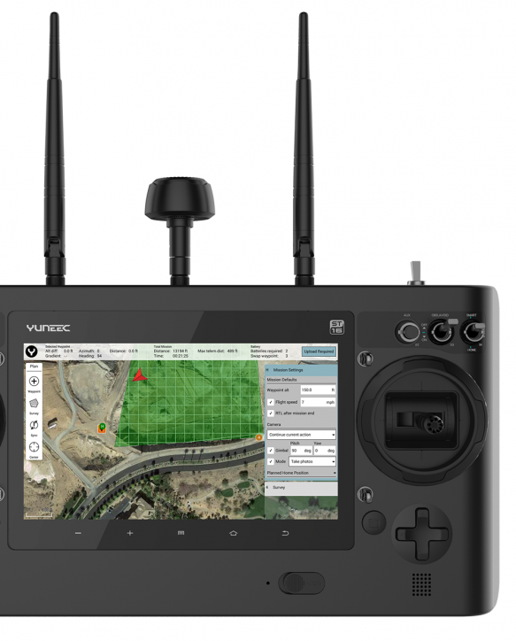
The ST16S Ground Station is an all-inclusive transmitter and receiver that gives you full control over the H520 during flight, allowing users to capture photos and video with great ease. With a large 7-inch integrated screen, the Android-based ST16S controller displays real-time footage of your flight, eliminating the need for an external device. You can also use the ST16S as a mission planner. Plan your flight using the touch screen, and execute your mission with just a single press of a button.


Your benefits at a glance

  • Designed for professional, commercial and governmental requirements
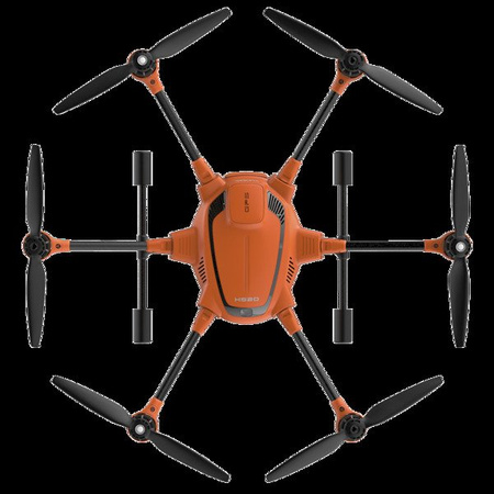
  • 6 rotors for high safety and redundancy as well as high stability and precision even while experiencing wind and turbulence
  • Take-off weight with all available camera systems (E90/E50/CGOET) below 2 kg
  • Reliable position determination by evaluating GPS, Glonass and Galileo satellites
  • High-precision, low-interference compass
  • Good visibility due to bright orange paint
  • Video downlink encryption according to the WPA2 standard with a dynamic password
  • No data transfer to an external server
  • Software is based on solid PX4 code
  • Intelligent sonar collision avoidance for safe and stress-free flying
  • Energy efficient and quiet with a flight time of up to 28 minutes with E50 / 25 minutes with CGOET/E90
  • Numerous, also individual, service and maintenance packages available
  • ST16S with an integrated 7” touch display, voice output and multilingual comprehensive DataPilot™ software
  • HDMI signal directly from the ST16S to output the drone’s live image onto larger monitors
  • Mission planning on the computer or on the ST16S, offline maps available, creation of own maps possible
  • Waypoint and survey missions, including cross-wise flights, suitable for construction surveying, perimeter security, accident reconstruction, 3D scans, orthomaps, area inspections and S&R tasks
  • 2D/3D mapping
  • DataPilot™ automatically generates the flight route when an area to be scanned is specified, including a possible battery change.
  • Definition of resolution over inches per pixel or altitude
  • Missions can be saved for any repetition of the same flight route (e.g., for tracking shots)
  • SDK available: third-party software and adaptation to your own application are possible.
  • Capable of being tethered (sold separately)
  • Lower space requirement and short set-up time
  • Retractable landing gear and 360 degree endlessly rotatable camera gimbal for precise alignment or a permanent all-round view, even during tethering
  • Hot-swappable camera/gimbal systems


YUNH520EU


H520 with 2 batteries and ST16S


Aircraft  
DIMENSIONS 520 x 455 x 295 mm
FLIGHT TIME CGOET: 25 Min / E90: 25 Min / E50: 28 Min
WEIGHT (WITH BATTERY, WITHOUT GIMBAL) 1633 g
BATTERY 4S 5250mAh 15,2V LiPo
CHARGER SC4000-4H
REMOTE CONTROL ST16S
MAXIMUM FLYING ALTITUDE 500 m
MAXIMUM ROTATIONAL SPEED 120°/s
MAXIMUM ROTATION ANGLE 35°
MAXIMUM RATE OF ASCENT 4 m/s
MAXIMUM RATE OF DESCENT 2,5 m/s
   
Remote  
OPERATING SYSTEM Android™
NUMBER OF CHANNELS 16
TRANSMISSION DISTANCE RANGE (OPTIMUM CONDITIONS) Up to 1.6km/1 mile
VIDEO LINK RESOLUTION HD 720p
VIDEO LINK FREQUENCY BAND 5.8 GHz WiFi
VIDEO TRANSMISSION FCC Compliance: Up to 1.6km/1 mile / CE Compliance: Up to 1.6km/1 mile
FLIGHT SYSTEM TELEMETRY DATA ON SCREEN Yes
LCD SCREEN SIZE 7”
TACTILE AND AUDIO FEEDBACK Yes
BUILT-IN LIPO BATTERY (VOLTAGE/CAPACITY) 3.6V 8700mAh 31.32Wh Li-ion
CONNECTION TYPES 1x HDMI, 2x USB, 1x head phone


12 miesięcy
12 miesięcy
Do you need help? Do you have any questions?Ask a question and we'll respond promptly, publishing the most interesting questions and answers for others.
Ask a question
If this description is not sufficient, please send us a question to this product. We will reply as soon as possible. Data is processed in accordance with the privacy policy. By submitting data, you accept privacy policy provisions.
Write your opinion
Your opinion:
5/5
Add your own product photo:

We care about your privacy

This page uses cookie files to provide its services in accordance to Cookies Usage Policy. You can determine conditions of storing or access to cookie files in your web browser. More information on terms and conditions and privacy can also be found on Google's Privacy and Terms page.

Close
pixel